Permeti General Info
Përmeti is located in southeastern Albania. Përmeti district consists of two municipalities, the Përmeti and Këlcyrë, and from seven communes, Sukë, Ballaban, Petran, Çarshovë, Piskovë, Frashër and Dëshnicë. Përmeti is a mountainous town, surrounded by a mountain range, Trebeshinë-Dhëmbel-Nemërçkë. The river Vjosa passes through the city, it has become already an inseparable part of the name of this town. One other characteristic of Përmeti were the flowers, specifically the roses that existed everywhere in the city, especially around the gardens, but also in older originally houses of Përmeti, famous for the cleanness kept by the owner-ladies of the houses but also for the hospitality and good maintenance. Because of these flowers the city were called "City of roses".
Këlcyra
It is a small town that lies along the mountains and Nemërçkë-Trebeshinë and washed by the river Vjosa and Dëshnica. The road to Kelcyra, can be obtained even after disconnect from Tepelena-Gkirokaster road after leave to the right the ruins of the ancient city of Antigonea. Magnificent and stately Këlcyra Gorge towards between the craggy gullies and reaches the highest point of the tableland that lies between the mountains of Nemërçka and Trebeshina. Këlcyrë town, is located to the right of Vjosa river, there where the river of Dëshnic with its branches meats Vjosa and start to flow together.
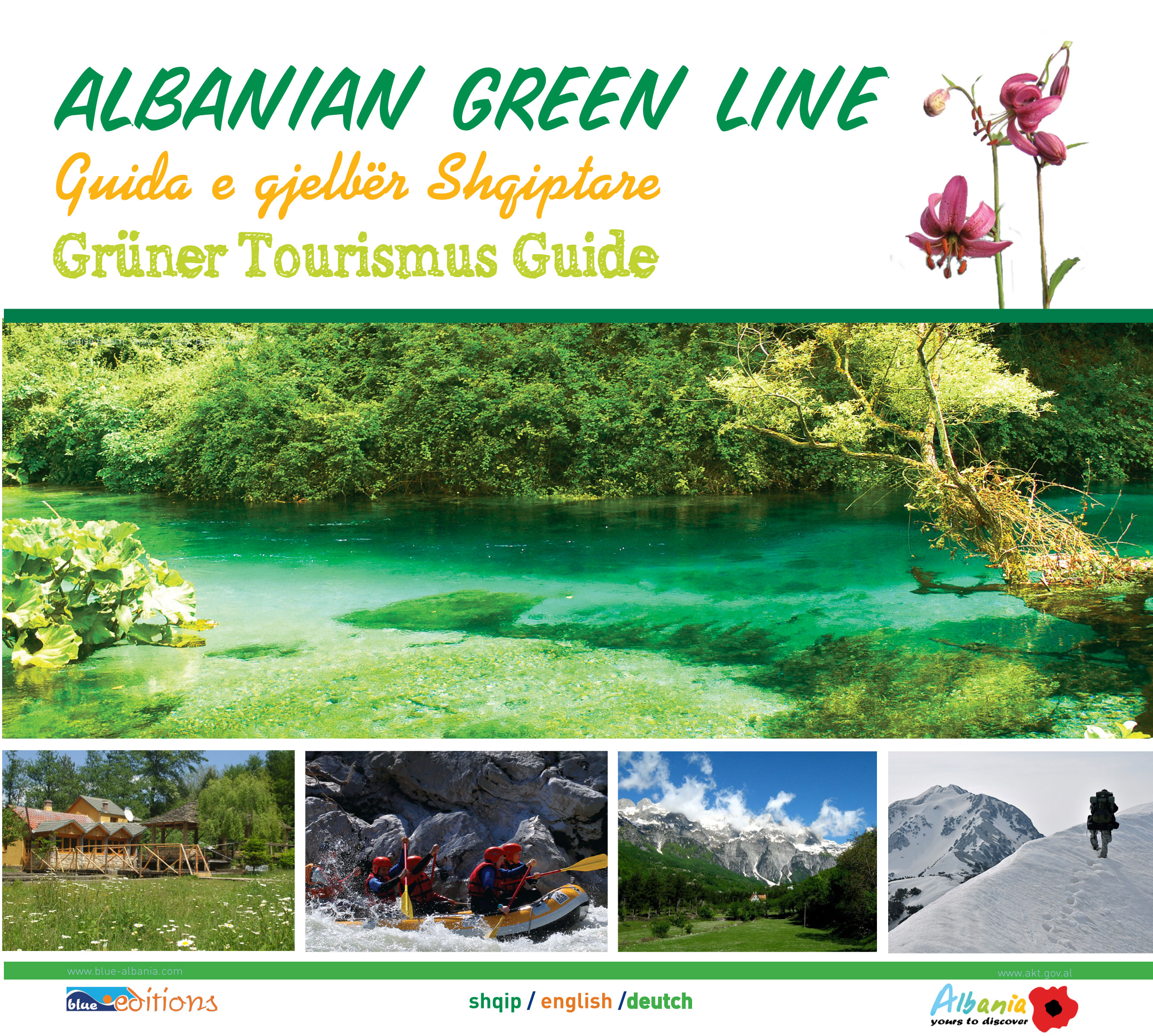
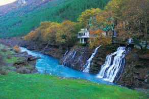
Këlcyrë Gorge is one of the most beautiful gorges of Albania, especially the Black Water Source, which although not mentioned as much as one can say for other water points of the Albanian nature is worth a visited place, especially the waterfall in the tourist point. In every season you can enjoy this Panorama in a wonderful area. In autumn, the nature plays a real show of colors, ranging from white peak of Trebeshina which hosts the first snow, to continue with the brown shrubery, with permanent green of the fir-trees and pine-tees, with the ancient plane-trees, and to finish with the smeraldy water of Vjosa, where numerous sources discharge.
This wonderful place called the Source of Black Water, is a peculiar landscape where the natural vegetation is combined between grass, trees, forest with vegetation that is hydrophilic resources along the river of Vjosa, in a habitat where all types of vegetation are well expressed.
The plane-trees of Këlcyra together with the source create a very attractive tourist resort for tourism or strolling tourism.
Unless water is pure crystals, there are also exceptional value and helpful to cure the body. The water is potable and used for all facilities from the establishments which have built there small hotels or restaurants.
Mountain - Trebeshinë Dhëmbel - Nemërëçkë
This mountain range is a very good climber center for tourism. The excursions and picnics are numerous in the summer season. However, during winter, when the snow covers the mountain peaks, a small ride, walk or whatever, is really an experience that should not be left to experience.
The Thermal waters of Bënja
It is fne of our sources of sulfur-spring subtermale. Located about eight miles away from the centerm of Përmeti. At the very beginning of the street you will face the Katiu’s Bridge, built at the medieval period, today in very good condition. There flow out a group of sources, from which are formed small lakes with water of different sizes. Each lake is used for treatment of a specific problem, for example, acne and other skin diseases, rheumatism and diseases of body, stomach, etc.. A more specific aspect is the existence of the basin with healing mud, which the elderly say it is a key to keep the skin fresh and young. In fact it is proved that the medicine has an effect on rejuvenate of the skin. In the waters of Bënja one can find visitors from all over Albania, coming to be cured. However there are many others who visit even just to get the sun rays. Warm water is always a magnet that invites to pass hours in total relax.
Food and accommodation
You can get accommodation in the nice hotel of the town, which offer you not only contemporary condition but also a rare hospitality, difficult to find it in another place. Përmeti is famous for its complicate and tasteful cuisine. Because of the farming characteristics of the zone, you will taste different kind of meat (even the hunting cuisine). The wine is very popular and is used as a daily pleasure, except the traditional offering at the restaurants.
National Park of “Hotovë-Dangëlli”
With a surface of about 34 361 hectares, the national Park Hotovë-Dangëlli is situated in the region of Frashëri, about 35 km in northeast of the town of Përmeti. Enlarged lastly from the state authorities because of its values, this park forms a giant green crown with apparent contrasts that cause to be very attractive for the visitors. It is one of the most beautiful places and because of its natural values and beauties, is frequented not only by tourists but even the inhabitants, as a daily destination for picnics.
The climatic conditions
The winter is cold and the summer is fresh. The precipitation is abundant during the year, mostly on autumn and winter. The most beautiful seasons are with no doubt the spring and the autumn. The forest takes amazing colors in both of these seasons.
Flora and Fauna
The Flora of the park is very rich, starting with herbages and bushes, and finishing with the fir-trees with great proud crowns. The animal world is very attractive for its variety of species ranging from the brown bear, wolf, fox, marten, hind and wild pig etc.
Sport and activities
Due to beautiful and picturesque nature, healthy climate, pure air and nearness to the urban areas, this Park gains tourists, recuperative and sportive values at every season of the year. The sorts of tourism to carry out are echo-tourism, champing, excursions etc. It’s important to say that the biggest entertainments are the excursions, because of the numerous attractions. So you can visit the thermal sources, the canyons, the outfall of Këlcyra, the numerous caves and the antique vestiges. There is not yet an accommodation structure in this zone but the visitors can take with them the camping and barbeque equipments and use at appropriate areas of the park. Be careful with the fire, don’t switch it directly on the ground. Going to the park, you will find small restaurants which offer you the cuisine of the zone.
The natural mounments
Geo-monuments
The tumbled horizons olistolites of Çarshova. 500 m above the sea level and surface area 5000 m2. There are limestone tumbled horizons and olistolite area of Kruja within Ionian flysch zone. Have been studied by Professor V. Melo. Përmet-Leskovik road.
The tumbled horizons olistolites of Çarshova. 500 m above the sea level and surface area 5000 m2. There are limestone tumbled horizons and olistolite area of Kruja within Ionian flysch zone. Have been studied by Professor V. Melo. Përmet-Leskovik road.
The Canyon “Stone of the Bee, Boroçkë, 730 m above the sea level. Created from karst and Lemnica stream, it is over than 750 m long, 100 m wide and 100 m deep Pëmet-Frashër road.
The Nemerçka’s well. Konikol, 1200 m above the sea level. formed by karst, in the limestone of Crete, is 1.5 m wide and deep around 30 m. Përmet-Çarshovë road.
The Cave of doves. Lengarica Gorge, 350 m above the sea level. formed by karsti in the limestone of Crete, is 2-3 m wide, 160 m long and 3 m high, with some ramifications, where human remains are found. Përmet-Petran-Lengaricë itinerary.
The Cirques of Nemërçka, Draçovë Stërmbec, 800 m above the sea level. It consists in glacial cirque in limestone of Crete, 600 m wide and 2 km long, in the shape of a giant chair. Përmet-Draçovë itinerary.
The Stone of the City. Permet, 250 m above the sea level. It is an olistolite limestone oligocenical flysch, 10-15 m wide, 12-15 m long and 20-25 m high Above it is an ancient settlement.
Ato’s stone. Kutal 213 m above the sea level. It is an olistolite limestone in flysch, 80-10 m wide, 12-15 m long and t of 15-20 m high. Permet-Kutal road.
The canyon of Lengarica. Bënjë, 400 m above the sea level. It is formed in the limestone of Crete by the stream of Lengarica and karst. It is 20-30 m wide, 4 km long and 80-100 m deep. Permet-Petran-Bënjë itinerary.
The Petrani’s stone. 300 m, near the village Petran, 400 m above the sea level. It is formed in the limestone of Crete by The stream of Lengarica and karst, 20-30 m wide, 4 km long and 80-100 m deep. Permet-Petran-Bënjë itinerary.
The earth-dunes of Dangëllia. In the territory Frashër-Mica, 1000 m above the sea level. Constitutes in the degraded landscape of flysh, by natural factors and human inappropriate use. Përmet-Frashër itinerary.
The Hole of Kazani. Stërmbec, 600 m above the sea level in the glacial cirque of Nemërçka. It is 60-70 m wide, 150 m long, with small karst forms on the interior side. Përmet-Stërmbec itinerary.
The Kamencka’s canyon. Cretaed by karst in the limestone of Crete and the stream of Kamenikut, it is 80-10 m wide, 500-600 m long, 60-80 m deep Permet-Hotovë road.
Hydro-monuments
The Waterfalls of Sopoti. Kaludh, Stërbec, 600 m above sea level. It has an amazing view in about 20 m of height. There is also the big source, that comes out from the deposits of fluvial-glacials. Përmet-Çarshovë-Stërbec itinerary.
The Thermal waters of Bënja. Lengaricë, 300 m above sea level. The Thermal sources represent a temperature 25-300 degrees C. The Output is connected to the tectonic break. Përmet-Petran-Bënjë itinerary.
The Black source of Këlcyra. In the Gorge of Këlcyrë, in the left of Vjosa bottom, 160 m above the sea level. Consists in karst springs with flux of 80-10 400-500 l / s, which come in contact between limestone and flysch. They have clean cold water, and create very attractive environment with local social service. 13. Biomonumente.
17. The throat of Këlcyrë horseradish. Këlcyrë found in the mouth. Group of trees are 13-15 m height, tree diameter of 80-100 cm. Create more attractive and restful surroundings. There are biological scientific values, teaching and tourism. Visited by Tepelene-South route. Tepelenë-Përmet itinerary.
Bio-monuments
The plane-trees of Kelcyra Gorge.
The fir-tre of Petrani.
The cypress-tree of the Church in Leusë.
The multitude of Polmenit forest.
The plane-trees of Kuqari.
The ash-tree of Kokojka.
The chestnuts of Frasheri Teke.
The Plane-tree of Megallara.
The Gërhoti’ forest. (45 ha).
The palne-tree of Çarshova.
The palne-tree of Zhepa.
Çuka’s forest.
The Forest of Ropusha.





.jpg)
